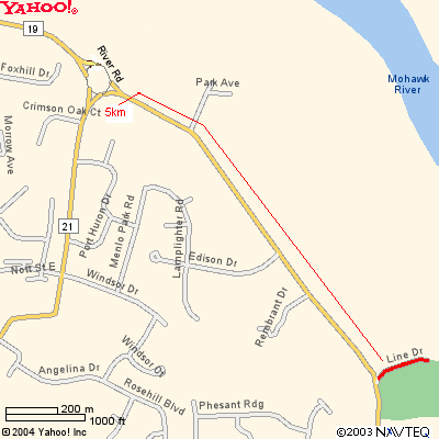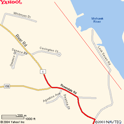
Forget about the first three miles. You want to get yourself out of the park and beyond the 5 Km point before traffic gets blocked. There will be a full mile where you can see the runners along River Rd once you are past 5 Km, but if you try to work your way along the first three miles of the course, you'll be stopped and may not catch up with the runners until much later.
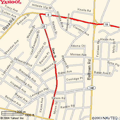
Once the runners have exited that park, go out the main gate by the rose garden, turn right onto Central Parkway and find Dean St. It's the straightest route to where you need to go.
You've got a little over 15 minutes to get there before they start to block the traffic. Just a couple blocks out of the park, on Union St there are a several places where you can stop and grab a coffee and a bagel or something, just don't dwell too long.
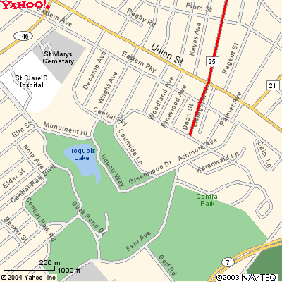
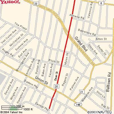
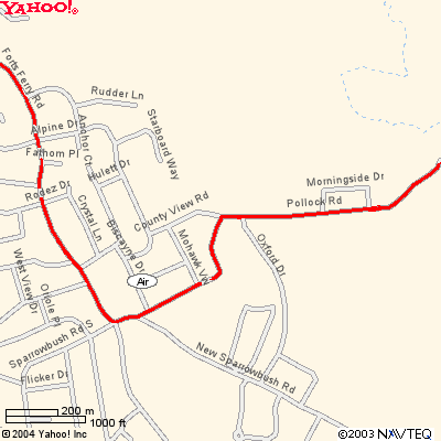
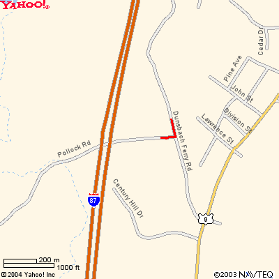
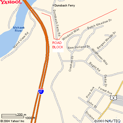
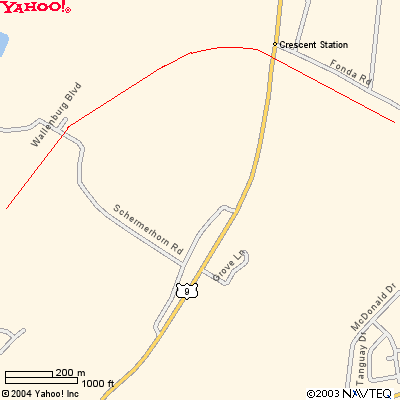
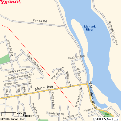
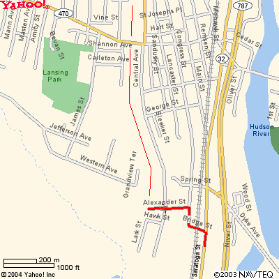
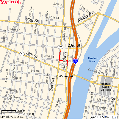
Dean St crosses Union St, a main thoroughfare most days, but on Sunday morning not especially busy, and then goes through a very pleasant residential neighborhood. The other streets to the right and left of it look as though they'll go straight through but don't be fooled, a mile or so into the neighborhood you'll get all turned around and balled up. See the next map if you don't believe me.
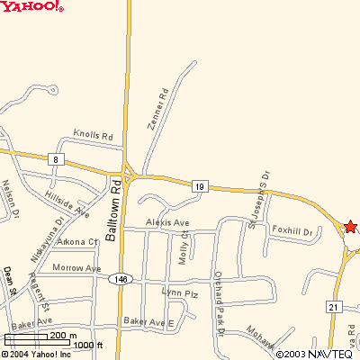
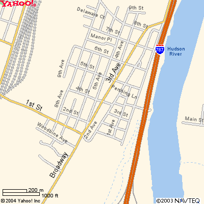
The runners are going over Palmer Ave, two blocks away and then diverging off to the right of this view.